2006 | 2008 | 2010 | 2012 | 2014 | 2016 | 2018 | 2022 |2024 | 2026
2008: OFF THE GRID
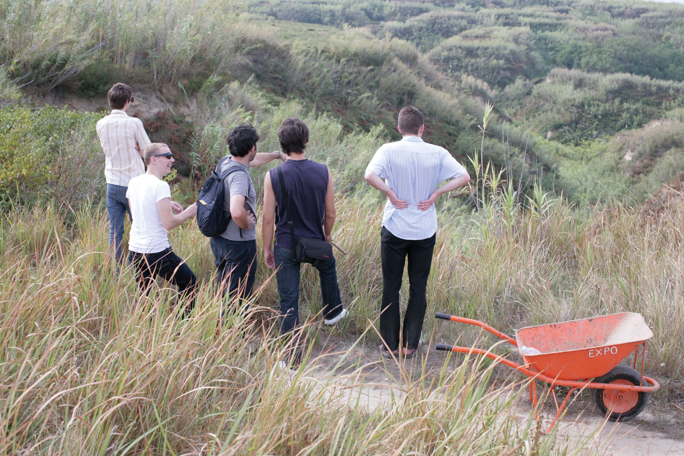
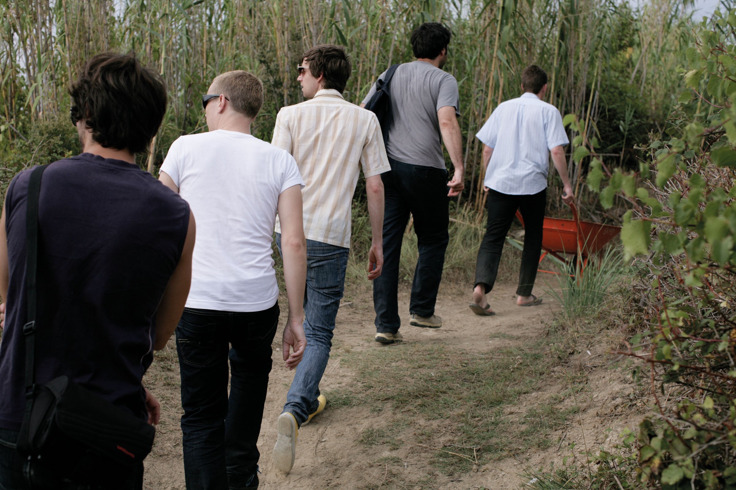
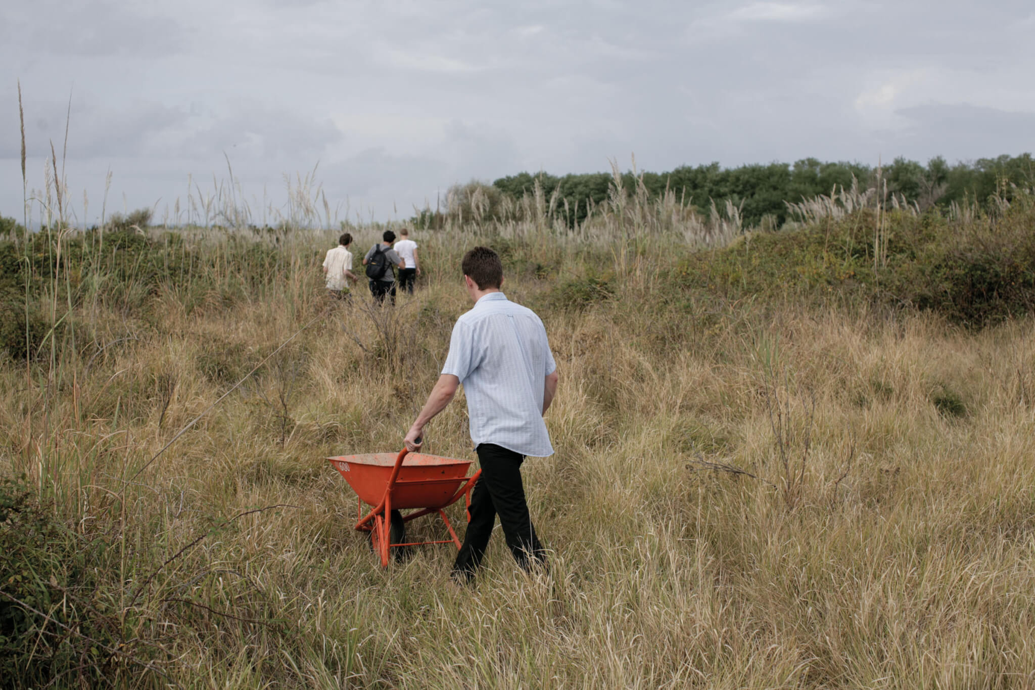
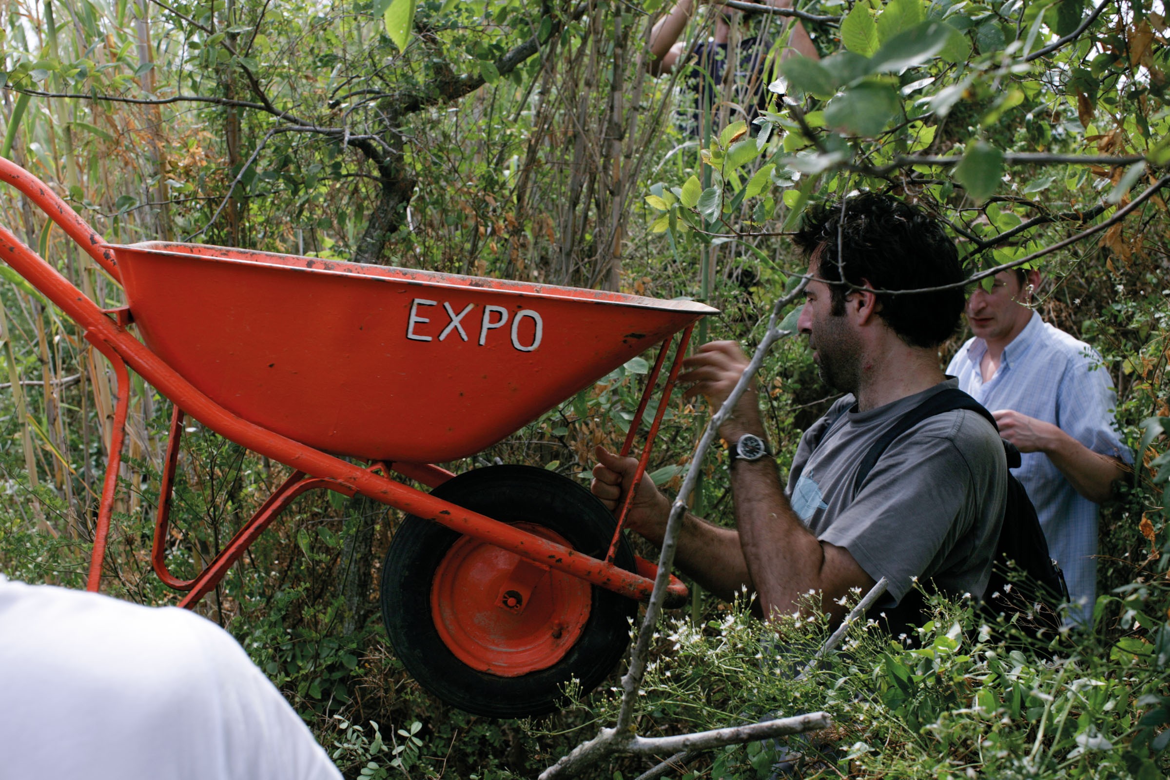
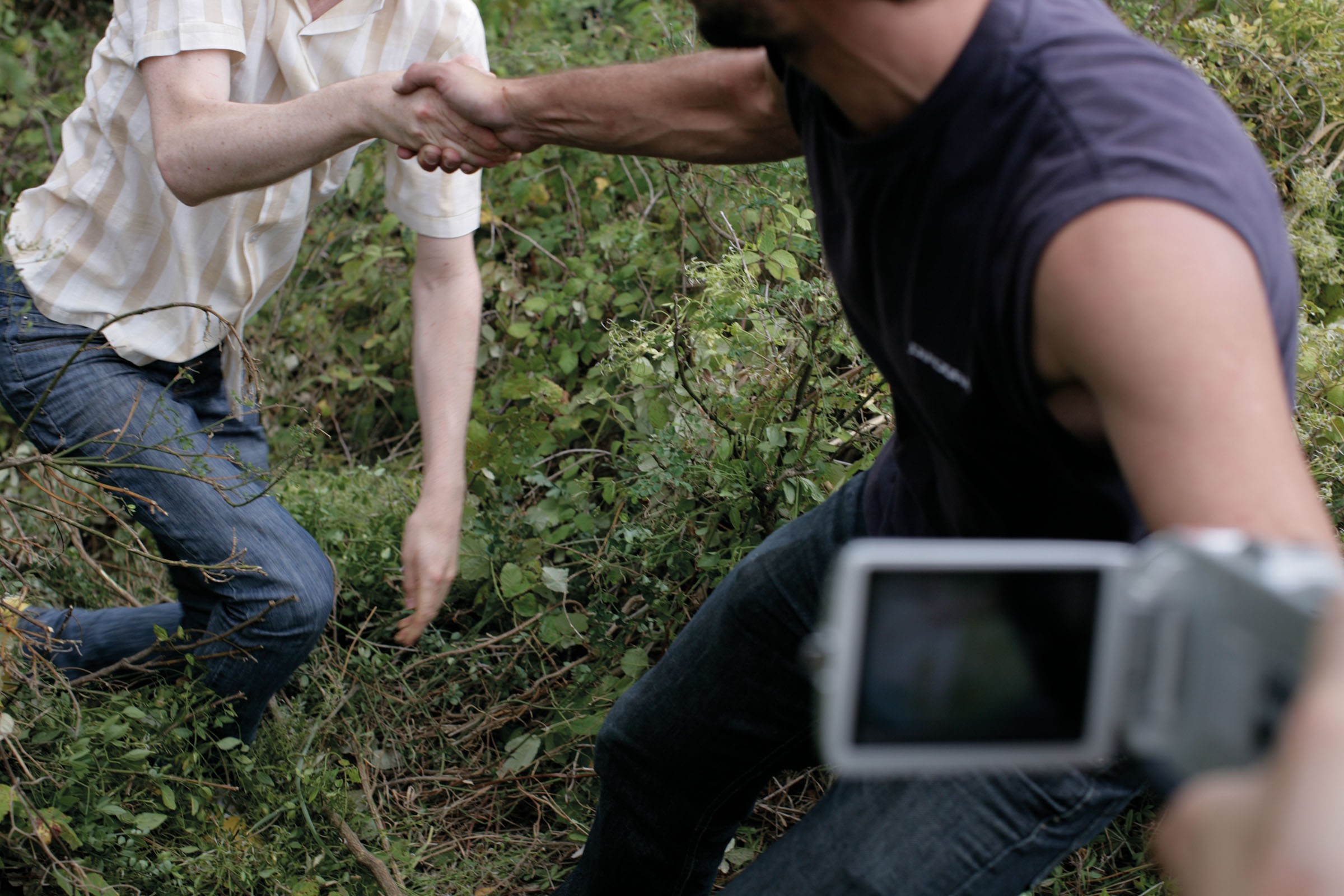
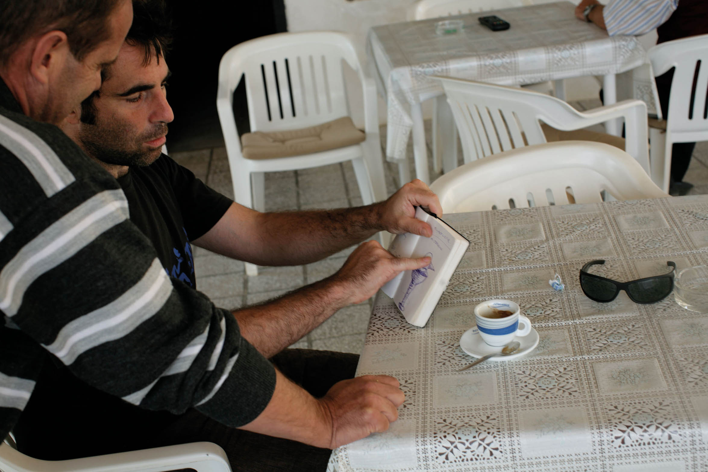
Romina Dušić | Katarina Dragoslavić| Russell Martin | John Hughes | William Mackrell | Janko Matić | Daniel Devlin | Herzog Dellafiore


SUSAK
The island of Susak is situated to the west of Kvarner Bay, off the northern coast of the Adriatic Sea. Susak is a very small island measuring 3 km by 1.5 km and has a permanent population of only two hundred residents. There are two villages: the original upper village Gornje selo and the larger lower village Doljnje selo. Together these two villages occupy just over 4% of the island’s geographical surface.
Geography
Susak is often described as a small wonder of nature as its characteristics are so different to those of the other Adriatic islands. The geographical highlight of Susak is the thick layer of minute sand that covers the basic calcareous foundation of the island. Present day locals often refer to this layer of sand as the Ali, a reference to its early Aeolian origin.
Sand and Susak resonate throughout the island’s history. Indeed Pliny the Elder describes Susak as «a sandy island not far from Piatas Juliae» [1] in his encyclopedia Naturalis Historia. However, it is not known exactly how this sandy island developed. We know Albert Fortis, a keen botanist and gardener, carried out the first research into the geographical nature of the island in 1770.
Yet, it was not until 1903 when Danijel Gorjanović suggested that lower sandy layers were sediments created by the inflow of the river Po that we got a more scientific and accurate approach. In his book Susak Sand [2], Gorjanović writes vivid descriptions of how the upper layers of yellow, sandy, loamy material are in fact Aeolian alluvium, blown by the fierce wind off the sea and deposited on top of the island’s outer crust. Alarmingly, Anton Bognar, a radical South African scientist visiting Susak in 1979, claims in his essay Sand, Sea and Aliens [3] that the thick layers of fine sand that cover the island conceal remnants of terrestrial snails. It has also been suggested in various academic institutions that submarine springs caused sand accumulation, which thus surfaced with tectonic elevations.
History
The history of Susak is a glorious but at times painful story, since throughout the years its inhabitants have been exposed to conquest, plunder and the violation of the two basic human rights: freedom and dignity. The first known inhabitants were the Illyrians and it is recorded that some Greek sailors also lived on the island at this time [4]. The earliest datable reference to Susak is found in Strabo’s Geographica (a seventeen volume encyclopedia of geographical knowledge first published in 19BC), which describes Susak as an «uninhabited island made of sand, covered in wild oregano» and states that the supply of fish and squid was plentiful.
Romans settled some time before the birth of Christ. Under their domination, Susak and other islands of the Kvarner area, Istria and Dalmatia, fell under the jurisdiction of the Province of Dalmatia. Together they became a part of the Illyrian Province.
Susak is mentioned in Tacitus’ Historia Adriatica as the island of Sansegus (oregano in Latin). He describes a garrison based on the upper part of the island (where the lighthouse now stands) and the nearby Bok Bay which became a popular summer resort for wealthy Romans, from the city of Osor to visit and relax in during the hot months of June and July. Tacitus also mentions that during these summer months there were several sightings of wild people covered in rusty red paint mysteriously coming out of the forest in the valley. However, Tacitus dismissed these sightings as being caused by too much wine5.
In 476, after the fall of the Western Roman Empire, the island came under the rule of the Ostrogoths. From the 6th Century until the 10th Century, Susak was part of the Byzantine Empire. Bloodthirsty pirates often raided the island and so in the 7th Century a fortification wall was built. Ruins of this wall can still be seen near the church.
In the 10th Century Susak became part of the Croatian kingdom under the rule of King Tomislav. In 1121, King Krešimir gave the island to a community of Benedictine monks who used their newfound responsibility to set up a monastery. Sadly, all traces of this monastery, along with the monks’ manuscripts, were destroyed in the great Susak fire of 1577.
The Venetian Republic ruled over the island until 1797, when it become part of Napoleon’s Illyria until 1815. The Austrian-Hungarian monarchy then annexed this region as part of the Viennese Congress’ resolution. Susak remained under the monarchy’s domination until the end of World War I. After this it fell to Italy through the Treaty of Rapallo. There was a short partisan administration in 1943 until the German Army occupied Susak, where it stayed until the end of World War II in 1945. Finally, through the Peace Treaty of Paris, Susak became part of the S.F.R. of Yugoslavia.
Present-day Susak
Curiously, from 1948 to 1991, Susak literally came off the map. It is unclear if the disappearance from the grid was caused by a cartographer’s mistake or for political reasons, but the fact is that very little is known about this period [6]. Susak became a Yugoslavian army base, tourism was not allowed (even if it were, it wasn’t on the map) and whoever could, emigrated (mostly to Hoboken in New Jersey). The population dwindled from 1629 in 1948 to 188 in 1991.
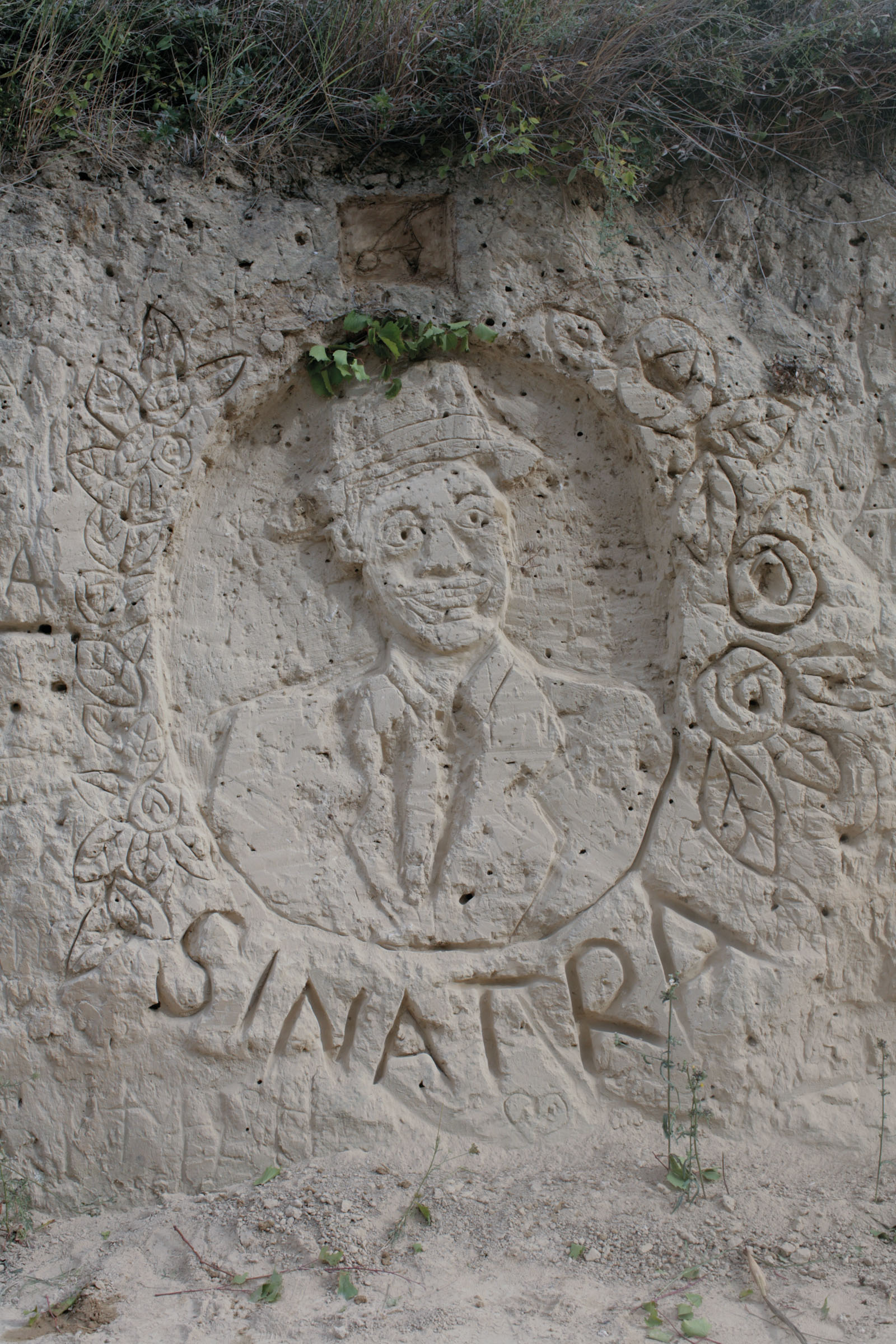
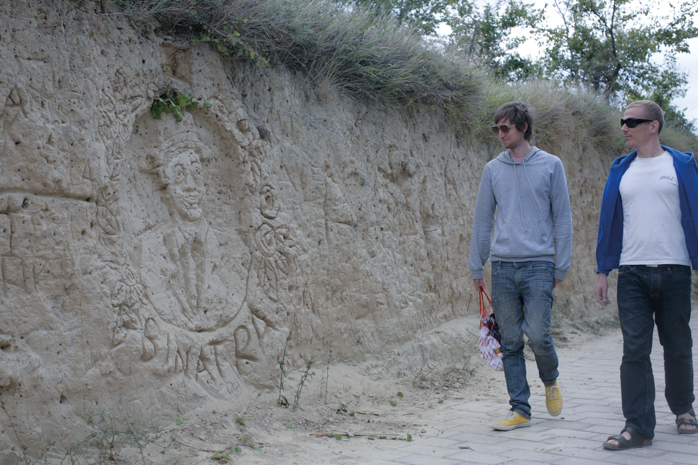
After Croatian independence, Susak re-appeared on the map. People who had emigrated started visiting Susak again, and many of them have come back since retirement. Tourism is picking up, and in recent years, cultural events have been introduced. In July 2006, the first Susak expo took place and this event has been described as an off-grid Venice Biennale. The idea has caught on and since then, other artistic and cultural festivals have taken place on the island.
———————————————————————————————–
1 Piatas Juliae was the name given for today’s city of Pula.
2 Gorjanović, Danijel, Susak Sand, Susak Press, Susak 1907
3 Bognar, Anton, Sand, Sea and Aliens, University of Los Angeles Geographical and Terrestrial Discoveries, vol.5, pp.34 – 35, University of Los Angeles press, Los Angeles, 1984
4 In fact Susak has a strong Greek connection especially through the strains of Greek mythology. The best-loved story is taken from an episode in the legend of the Argonauts. It is said that Jason and Medea once took refuge in Susak in order to escape from the deadly pursuit of Absyrtus, the sorceress’s brother, after they had stolen the Golden Fleece. Now although Absyrtus did find Jason and Medea, who were hiding in the fields of oregano, the two of them had cunningly laid a trap for Absyrtus and consequently he was chopped into pieces and thrown into the sea where legend has it his body parts form the many islets surrounding Cres and Lošinj.
5 It is worth noting that in the 11th Century Ivan the Deacon wrote about Saracens who destroyed a Venetian fleet, leaving their victims to drown in the Adriatic Sea. However, many managed to reach the nearest island, the island of Susak. Local legend has it that the wild red people appearing from the forest were the bloody victims of this Venetian fleet and reference to this legend can be found in various documents, charts and official papers of Venetian dodges in the years 1208, 1229, 1280 and 1356 respectively.
6 In keeping with the peculiar nature of Susak, the fact that the island literally came off the map between 1948 and 1991 is completely at odds with its history. There are a large number of old nautical charts and where the island is mentioned under the name of Susak and stated as an important navigational western point of the Archipelago, on the outer sea passage from Istria to central Dalmatia. The oldest nautical chart to mention Susak is The Carta Pisana from the late 13th Century. Its name is also found on 14th and 15th Century charts including all the charts of Dutch and Italian cartographers of the 16th century. Sgrooten’s chart from 1593 contains for the first time a scheme of the settlement. Cornellius’ chart from the late 17th Century mentions the settlement’s name with a tower as Villa e torre di Sansego. In a more detailed chart by A. Fortis of 1771 Susak is shown as a settlement with a church, a harbour and a few coves and capes.
**** Please note that the information in this booklet has been researched from the Internet and is as true as its source.